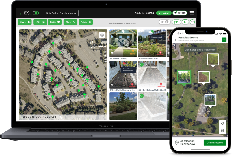
Streamline & Visualize
Easily capture landscape issues and automatically pin them on satellite maps, transforming scattered notes and photos into organized, actionable plans.
Boost Sales & Efficiency
Convert small issues into larger projects, increasing enhancement sales. Seamlessly integrate with your existing CRM to manage schedules and invoicing more effectively.
Improve Communication & Quality
Quickly share site improvement plans with crews and customers, ensuring quality standards are met and simplifying communication with new property managers.
No more storing work photos on personal devices, scribbling in a notebook, and trying to track down who knows what.
Whether it’s your internal team, customers, vendors, or subcontractors, keep everyone who’s involved with your properties on the same page so they know what it is, where it is, and what’s next.
GPS coordinates, detailed maps, high-rez photos, and rich information empower your crews to execute more work more efficiently.


Our customers have integrated IssueID into their daily operations and have seen tremendous success helping them grow and scale their operations.


Don’t have time to attend a full demo? Watch a pre-recorded demo here.
